Saturday, September 13, 2008 at Brinkley, Arkansas with dark
clouds rolling in ahead of Tropical Storm Ike, which had made landfall
in Houston, Texas in the wee hours of Saturday morning as a category 2
hurricane. The center of the remnants was just southwest of Texarkana
in Northeast Texas late Saturday afternoon, still showing a good
circulation and bands of thunderstorms began moving into Arkansas with
several tornado warnings being issued.
Seen today:
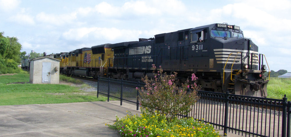
1) NS 9311, 10:29 a.m.
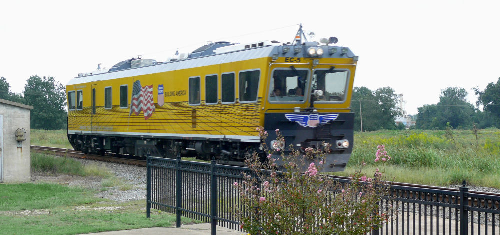
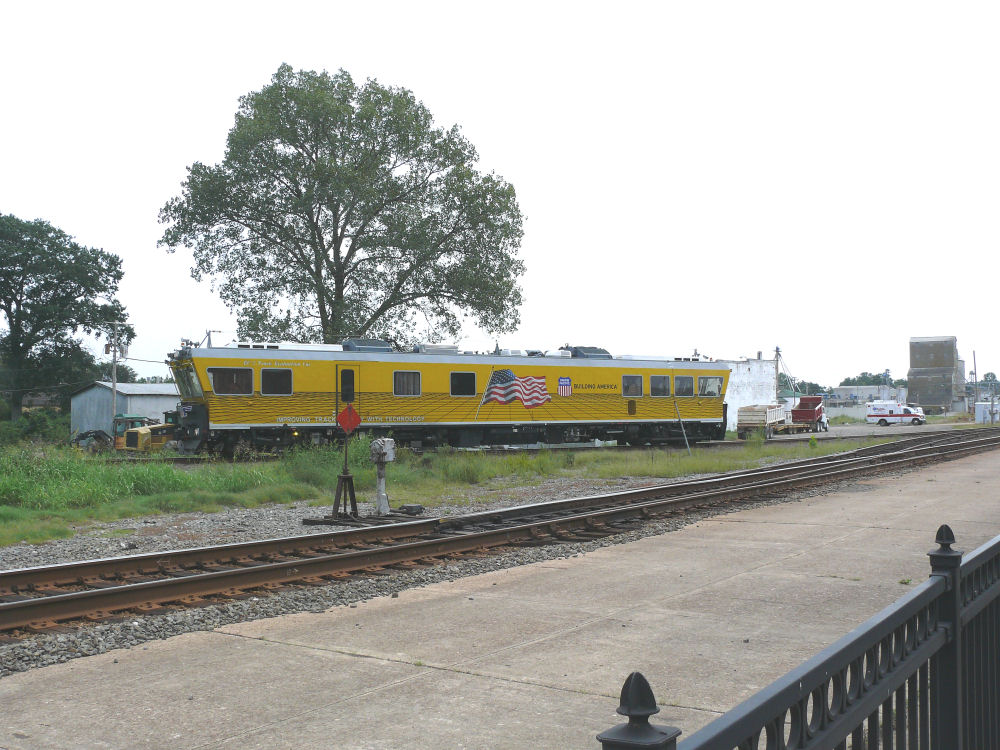
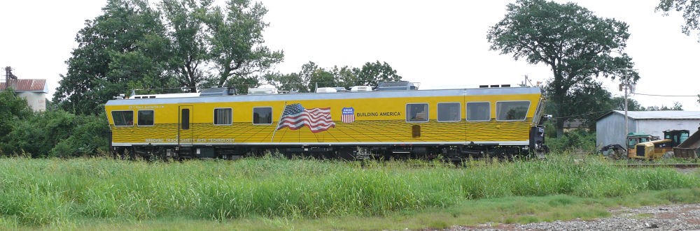
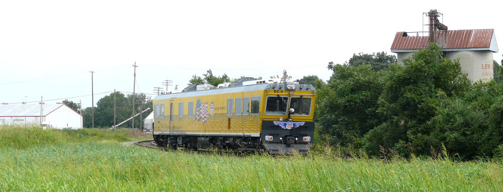
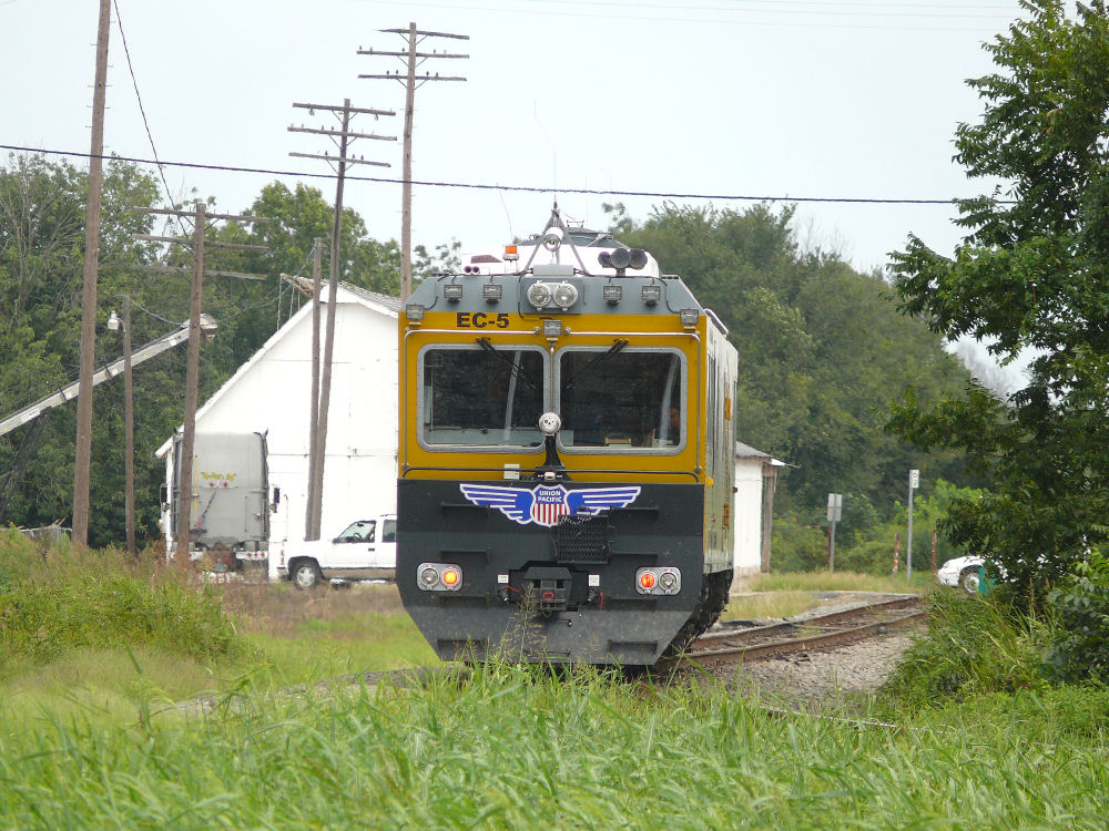
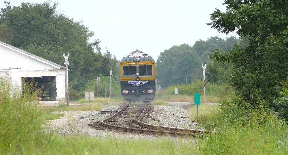
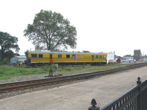
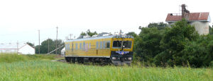
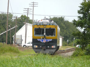
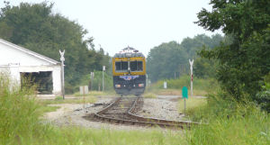
2) UP EC-5 track inspection vehicle, 12:56 p.m.
3) CSX 8565, 3:22 p.m.
4) Chessie boxcars
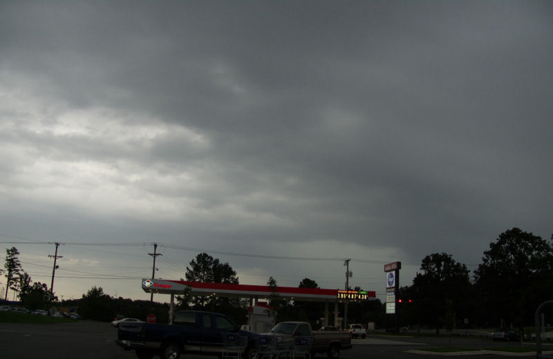
5) Dark cloud photos

Click on any image to enlarge, or if you want to view the whole site with larger photos, click on:
http://www.thundertrain.org/brinkley091308-bb.html
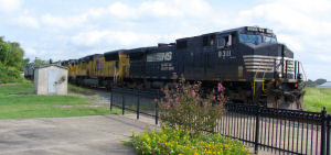
NS 9311, 10:29 a.m.

Click photo for a sound Quicktime movie of the museum's US flag being blown by the increasing winds of Ike. (12 MB - large file)

LEFT-UP
EC-5, track inspection car passing southbound about 40 mph at 12:56
p.m. RIGHT-The EC-5 reversed and headed east on the line to West
Memphis (former Rock Island) at 1:19 p.m.

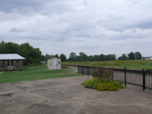
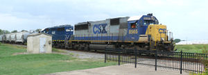
LEFT-Just dark clouds and track about 3 p.m. RIGHT-CSX 8565, 3:22 p.m.
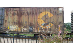
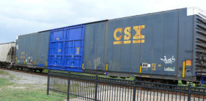
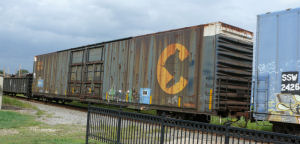
LEFT-Good ole' Chessie! RIGHT-CSX boxcar with bright blue doors.
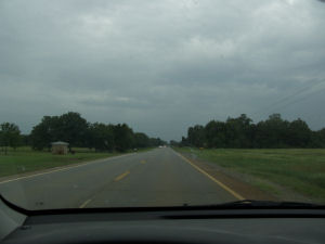
RIGHT-Heading back to North Little Rock on US Highway 70 about 4:15 p.m.
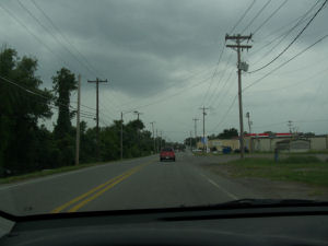
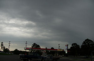
LEFT-Entering
the eastern parts of North Little Rock about 5 p.m. It dumped rain just
after this. RIGHT-At Kroger in North Little Rock (gas prices were
$3.95/gallon).
If you want to contact me,
click the email graphic below.

If you
don't have access to your email program, you can contact me via this
off-site comment form: http://www.contactify.com/cf1ea
If you use the off-site comment form, be SURE to type your
email
address correctly in order to receive a reply. To see my other train
photos over the years, go to: http://www.trainweather.com/sunday.html